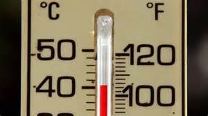
FRESNO (KMJ) — The week of triple-digit temperatures is now behind us, as the coming days see a return to what the National Weather Service considers seasonal conditions.
“We have a trough moving through the state today, and that’s going to bring cooler temperatures to our area,” reveals Hanford based meteorologist David Spector. “We only expect highs in Fresno area to reach the upper 90s today [Monday].”
The front responsible is coming from the Pacific, and helps cancel out the intense heat which spread all over California and even as far as Arizona.
But Spector reveals that a week of heat in excess of 100°F is not considered normal.
“We’ll typically get an outbreak like that in July or August, but it’s rare to see something like that in June…for it to get that hot for that long.”
The conditions also prompted the National Weather Service to issue a flood warning Friday afternoon.
“That was from snowmelt from runoff, there’s a flood warning out for the Kings River,” continues Spector.
That warning remains in place until 2pm Monday.
Hear the report from KMJ’s Dominic McAndrew as it aired:


